Your Shopping Cart
GIFT CARDS ON SALE NOW, 15% OFF! CLICK HERE
Shop by Category
Hot Items
Hot Items
Ski & Snowboard Outlets
East Coast: Winter isn't Over!
Posted March 9, 2014 @ 9:52pm | by Steve Andrews
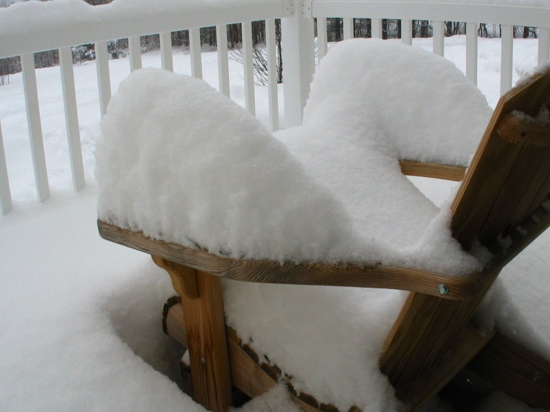
It’s been a while since my last weather post but I’m so psyched about what I’m seeing in the long range forecast models that I couldn't resist blogging about it! There may not be any special weather maps with this blog but you will see some numbers and other terms like ’knee-deep’ to depict how much snow may fall. Just hear me out and and get stoked for the onslaught of Winter weather about to come our way over the next two weeks!!
Most of the focus will be placed on New York and New England where a cold and stormy weather pattern should bring days upon days of fresh tracks this week AND next week!! The Mid-Atlantic and parts of the West can expect a couple of powder days as well. But first...
NY & NEW ENGLAND:
The bottom line is, there is VERY good agreement within the long range models showing a parade of clippers, cold fronts, and potentially large snowstorms affecting the eastern US now through the third week of March. Here’s how the series of events are lining up...
1. Tonight: A clipper moves down through NY//New England with a general coating-2” for most areas, isolated 3."
2. Monday night/Tuesday: A clipper/cold front combo works southeastward through NY/New England with another coating to 2” for most, isolated 4/5” farther north.
3. Wednesday and Thursday: Yes, the hype is real! A strengthening storm system coming into the eastern US on Wednesday will Nor’ Easter its way across the Gulf of Maine at night before pulling outta here Thursday. That means snow is looking really good, starting Wednesday and ending later Thursday. A widespread dumping seems certain! By Thursday's last lift ride, shin to knee-deep powder turns could be quite common across many to most ski areas in the region in what should turn out to be one of the best powder days of the year!! (Be aware, strong winds couls impact chairlift operations on Thursday.)
Friday: Get out there before the weekend madness! The sun should be out and winds much lighter with plenty of new snow to play in!
4. Saturday/Sunday: Next weekend should feature some kind of clipper/cold front combo tracking down through NY and New England (again) and drop a few new inches of fresh snow both Saturday and Sunday.
5. Saint Patty’s Day through Wednesday: Getting further out, the models continue to show great agreement with the chance of at least one snow event (or two!) the first half of next week. There is more emphasis on Mon/Tues with the potential for another shin-to-knee deep snowstorm to hit the Northeast! But, worst case is if that bigger storm doesn’t come to fruition the chance is still good for a couple more clippers/cold fronts to bring a few more rounds of light snow and more freshies on at least 2, if not all 3 of these days.
6. Going into the second half of next week (the end of the third week of March), believe it or not this cold and snowy pattern looks to continue with a better than average chance of even more fresh tracks with even more winter weather systems! (the Vortex is strong.)
If this crazy pattern holds true, it will likely result in most ski areas in the Eastern US breaking their record for “Latest Closing Date”!
MID-ATLANTIC: This week: From northern Pennsylvania to North Carolina, you should be able to cash in on one powder day, Thursday as cold air wraps into the big storm moving off the East Coast. New snow could be mid-shin deep in the mountains of PA/WV with toe-piece deep possible in NC.
Next week: If the long range models are correct with their idea of another potential big storm Monday/Tuesday then the next powder day for the Mid-Atlantic could be Tuesday. (Definitely more error potential with the Mid-Atl next week.)
THE WEST: This week: A storm enters the Pacific Northwest Monday and works east across the northern Rockies Monday night so expect a powder day of lower-shin to knee-deep depth in the mountains of Idaho, Montana, northern Utah, and Wyoming on Tuesday. Meanwhile, the mountains of Colorado can expect a toe-piece to lower-shin deep powder day in progress Tuesday as that same storm system drops southeastward along the Rockies into the central US. High and dry Wednesday through Friday. A small system brushes the eastern Rockies from MT to WY to CO with a couple inches of snow possible Saturday.
Next week: The next moderate snow event should enter the Pacific Northwest St Patty’s Day and take that same track across then down along the Rockies Tuesday with fresh tracks of varying boot depths. A few small storms could bring light accumulations to the northern Rockies later in the week with an increasing chance of a more substantial snow hitting the Northwest by weeks’ end.
***meteorology disclaimer: Weather models and the meteorologist (me) who interpret them have been known to be wrong on occasion and when that happens, it sucks. However, confidence with this particular 2 week forecast is quite high because the models we looked at last week did a good job of setting up this week and the models have also been consistently consistent with forecasting a similar Winter weather pattern through the third week of March. Enjoy!

