Your Shopping Cart
Hot Items
Ski & Snowboard Outlets
Winter Weather Visits the East
Posted October 22, 2013 @ 7:00pm | by The Ski Monster
Winter Weather Visits the East!
The western US has already seen a good sampling of winter weather so far this month with their share of early season snowfall and cold snowmaking temperatures allowing a handful of ski areas to open for the season. Not to mention all the first, fresh tracks already laid. Lucky bastards. Meanwhile, the weather east of the Mississippi River has been more Indian Summer-like with no natural snow and no cold nightly stretches for useful season-opening snowmaking, leaving us looking to the west, in jealousy.
Well, all of that will change this week as Winter finally makes a visit to the eastern US! Forecast models are in great agreement for a multi-day period of good snowmaking temperatures starting Wednesday and lasting through Friday, especially in New England. This will definitely entice some hardcore ski areas to fire up the snow guns and do more than just "blow the mice out." I wouldn't be surprised if there were a couple of chair lifts spinning this weekend! Possibly as early as Friday!!
Even better, forecast models also show a decent chance of accumulating natural (100% organic) snow starting Wednesday higher up in the mountains from West Virginia to Maine with periods of snow continuing through Friday. So our chance at real first tracks may also occur later in the week! It may not snow a lot but it only takes a few inches to make a first track. If you live southeast and east of the Great Lakes in the popular snowbelt regions then you will have bragging rights for most amount of snow as the lake effect snow machine gets cranking for a few days with some sizable accumulations likely!
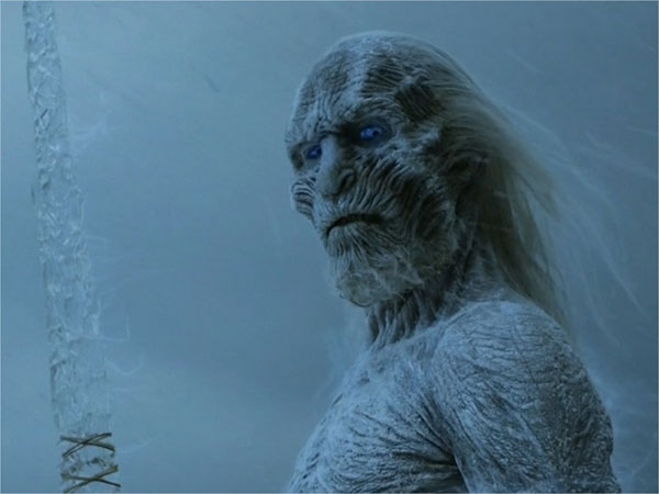
Keep Calm. Winter is coming!!
***Disclaimer Steve is an actual weather man by day, and TSMer by night. He is a trained meteorologist with inside "weather knowledge". When Steve is not shredding, he looks at weather models (not the models you're thinking of) and weird images of radar/jet streams. His info is the real deal. - Eric
.jpeg)

